Oklahoma City Traffic Accidents
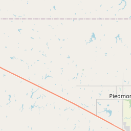
This is a map of traffic accidents in Oklahoma City today. Zoom in to see the exact street where the accident took place and if the crash involved injuries to motorists.
Check back often as we increase our understanding of the most dangerous roads in Oklahoma City—information that can keep you and your family safe on the road.
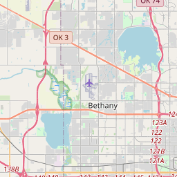
Accidents today
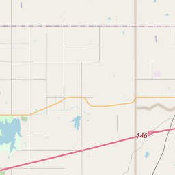
Accidents this month
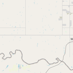
Accidents this year
Traffic Accident Trends in Oklahoma City
Vehicle accidents this month
Oklahoma City’s Most Dangerous Roads
Our maps use data from the City of Oklahoma City on traffic accident severity and location. While the city primarily uses this information to understand how traffic flow is affected in real time, our goal is to identify patterns in accident location and severity over time. Knowing where Oklahoma City’s traffic accidents happen the most can help keep you safe while on the road.
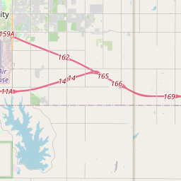
The map below shows the accident history of roads, highways and intersections across Oklahoma City during the last month. Roads marked in red were the scene of the most accidents. Be sure to check back often to see whether any of the routes you travel are among Oklahoma City’s most dangerous intersections and roads.
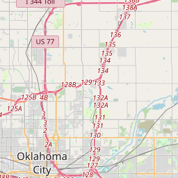
Where did most Oklahoma City traffic accidents happen in March?
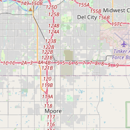
S. Pennsylvania Ave. and SW 59th St.
The intersection of S. Pennsylvania Ave. and SW 59th St. saw a notable increase in accidents in March. With heavy local traffic, frequent turning movements, and nearby retail activity, this area continues to present challenges for drivers.
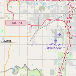
S. MacArthur Blvd. from I-40 to Reno Ave.
This stretch of S. MacArthur Blvd. remains a consistent hotspot for collisions. In March, the corridor between I-40 and Reno Ave. experienced a higher-than-average number of accidents, likely due to the mix of commuter traffic and access to nearby businesses.
Northwest Expressway from OK-3 to May Ave.
The Northwest Expressway once again ranked among Oklahoma City’s most dangerous roadways. In March, the segment between OK-3 and May Ave. saw increased crash activity, driven by high traffic volumes and multiple access points along this busy commercial corridor.
I-40 at S. Cromwell Dr.
The area around S. Cromwell Dr. on I-40 recorded a spike in accidents during March. Fast-moving traffic combined with merging vehicles near the exit ramps contributed to the elevated number of collisions at this location.
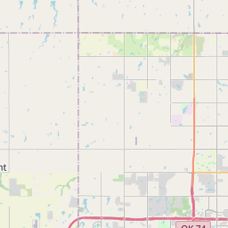
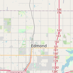
What are Oklahoma City’s most dangerous roads of 2025?
Oklahoma City’s emergency services share the locations of accidents with the public in real time, which can help you determine whether travel delays are likely. However, when an accident is cleared, it disappears from their map.
Our maps save the location of each accident so you can see where the most accidents are happening today and what roads were the most dangerous last month.
Ultimately, we want to know which locations are causing the most accidents over the long term. Some road sections are impacted by seasonal or event-based traffic increases, but we’ve created the map below to show you where accidents have been more likely to happen this year.
Were you involved in an accident in Oklahoma City?
If you’ve been injured in a traffic accident in Oklahoma City, it’s important to make sure someone is looking out for your interests. Contact our team at McIntyre Law today to see how we can help you.